Photos in Slide Show:
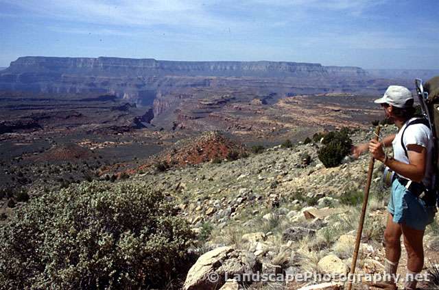
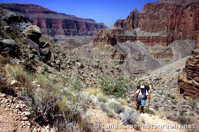
- Joe taking a last look at the canyon from the Thunder River Trailhead
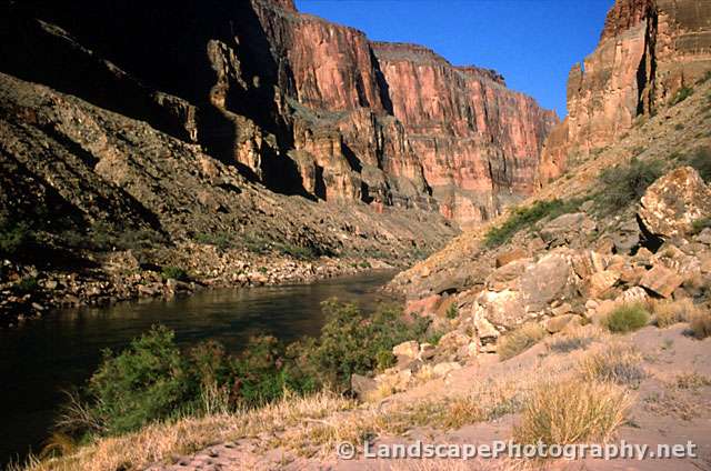
- The Colorado River as seen from the bottom, east of Kanab Creek
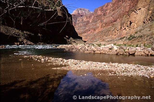
- Kanab Creek, just north of the confluence with the Colorado River
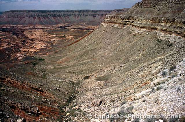
- A look into the canyon at Sowats Point
- Joe climbing the Redwall near the end of the trip
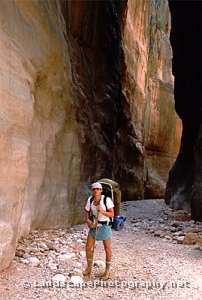
Photo, below left: Joe in the Jumpup Creek Narrows.
Over the years, we had the good fortune of backpacking to the bottom of the Grand Canyon six times. We had started with the popular and relatively easy “tourist” trails and progressed to steadily more challenging routes each time. One reason was the sense of adventure. Another was that as the park became ever more popular and crowded, you had to get far out in the backcountry to experience “real” wilderness. And perhaps most important was the fascination with the world’s most sublime natural place…
For our seventh and, to date, last trip we planned a true expedition, a loop through the Kanab Creek drainage system, along the Colorado River, and returning via Deer Creek and the Thunder River Trail. Our week-long, sixty mile hike would include secondary trails, routes, and trail-less cross country; our most challenging backpacking trip ever. Read the full story, Hiking the Jumpup, Kanab, Deer Creek Canyon Loop – “Death March or Grand Adventure?”, which includes a PDF map.
Photo Tips: This diverse trip offered a great variety of photographic opportunities, from expansive views at the rim to intricate side canyons, and in remote areas that are photographed less frequently than the popular, well-traveled sites.
